
One calibrated model.
Four layers built on it.
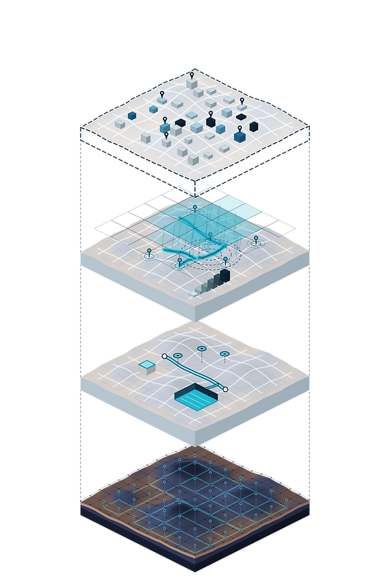
Everything Hydrocycle offers derives from a single hydraulic model of a drainage network and the surface above it.
Each layer takes the layer below as its input.
When the model is updated for a new basin, a resized pipe or a new development, every layer above it updates too.
Layer 1: Calibrated Model
· Delivered
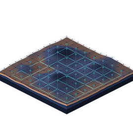
What it is. A coupled 1D/2D hydraulic model. The 1D part describes flow inside pipes, manholes and channels. The 2D part describes water moving across streets and land. Because the two are coupled, water that exceeds pipe capacity appears on the surface where it would actually flow.
Calibrated. The model is checked and adjusted against real measurements so that its results match what actually happened.
Built from. The network's survey and as-built records, terrain data and rainfall records.
Delivers. A validated model of the network, built by our engineers. Building one typically takes 6 to 18 months of specialist work, and it is commissioned once by the municipality or utility that owns the network.
For. Engineers and network and property owners.
Layer 2: CAPEX Packs
· Delivered

What it is. Engineering options tested on the model before anything is built: a larger pipe, a detention basin, a blue roof, an infiltration well.
Built from. Layer 1, plus the design option to be tested.
Delivers. For each option, the change in flood depth, extent and timing, and the size at which the measure is needed. Available from the day the model is delivered, priced per scenario.
For. Engineers, developers and property owners.
Layer 3: FloodOS
· In development
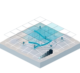
What it is. Live rainfall from radar and gauges, plus sensor data, run through the model during a storm.
Built from. Layers 1 and 2, plus live data feeds.
Delivers. A forecast by street: which street, how deep, how many minutes until arrival. It also gives a six-level readiness scale with a playbook that assigns a task, an owner and a deadline at each level.
For. Emergency teams and control rooms.
Layer 4: Risk Data
· Roadmap; design partner sought
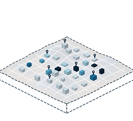
What it is. Flood depth and arrival time for every property inside a modelled area, from the same model. No separate model has to be built.
Built from. Layer 1 results for storms of different severity, aggregated by building footprint. Historical storms can be used for backtesting.
Delivers. API and file delivery for credit and underwriting systems, a building-level index, and site reports.
For. Lenders, insurers and property owners.
Coverage. Risk Data is available wherever a Hydrocycle model exists. Coverage grows model by model, and through licensing partners.